Atlanta Beltline Interactive Kiosk
Creative Circus Project
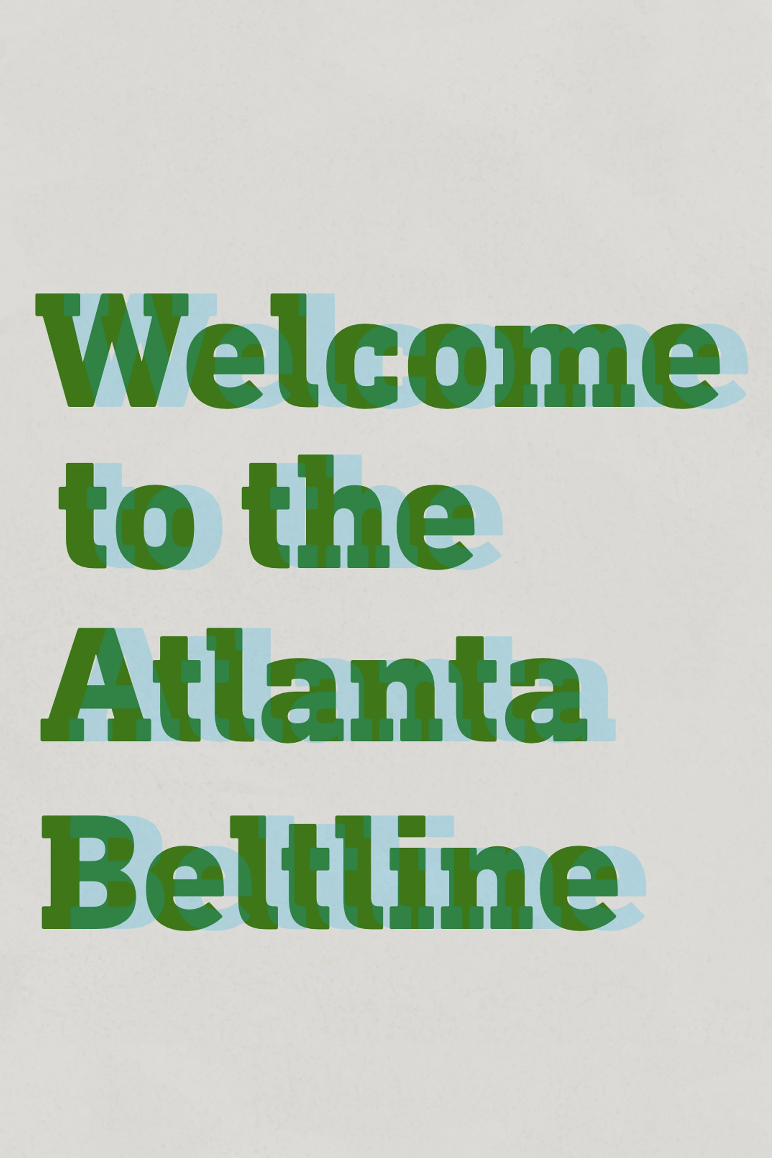
Atlanta’s Beltline is a civic project converting an old railway corridor into a multi-use trail. The Beltline is a loop, so the kiosk would be positioned on the trail and directions to locations are given as left or right. The design is meant to be simple, clean, and easy to use while still infusing a bit of the Beltline's history with the slab serif and texture.
Home Screen
Although neighborhoods and events can be found within the map, the home screen offers quick access to them for people not looking to explore a map.
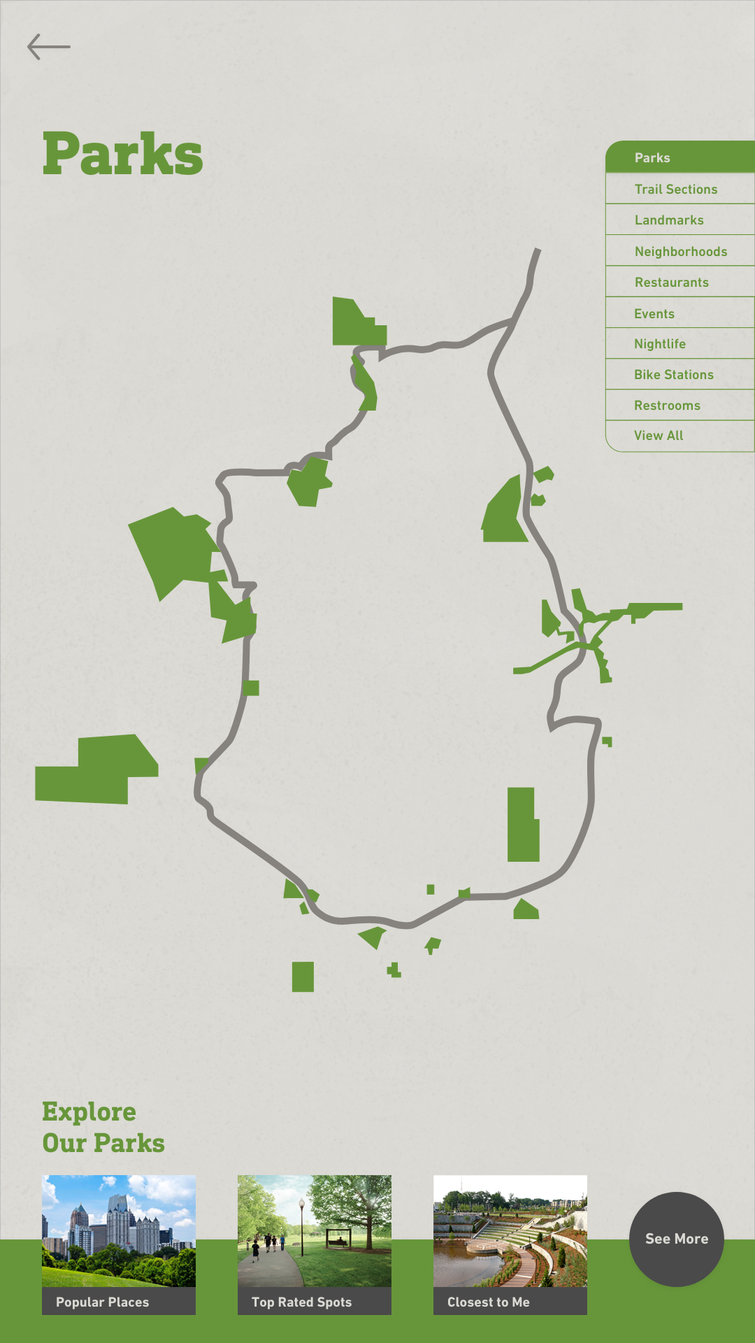
Main Map
The map opens to the main map, which can be pinched to zoom in or out of the area. The bottom of each map shows relevant information to the category.
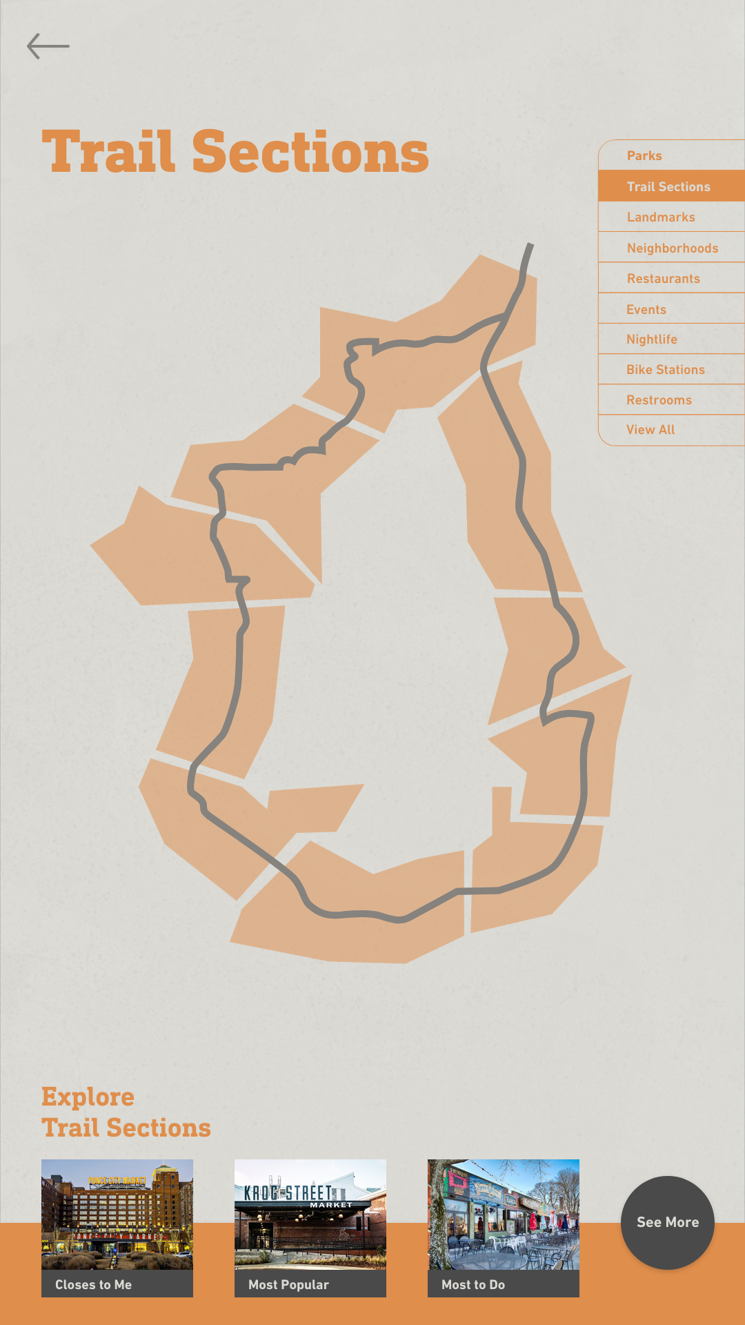
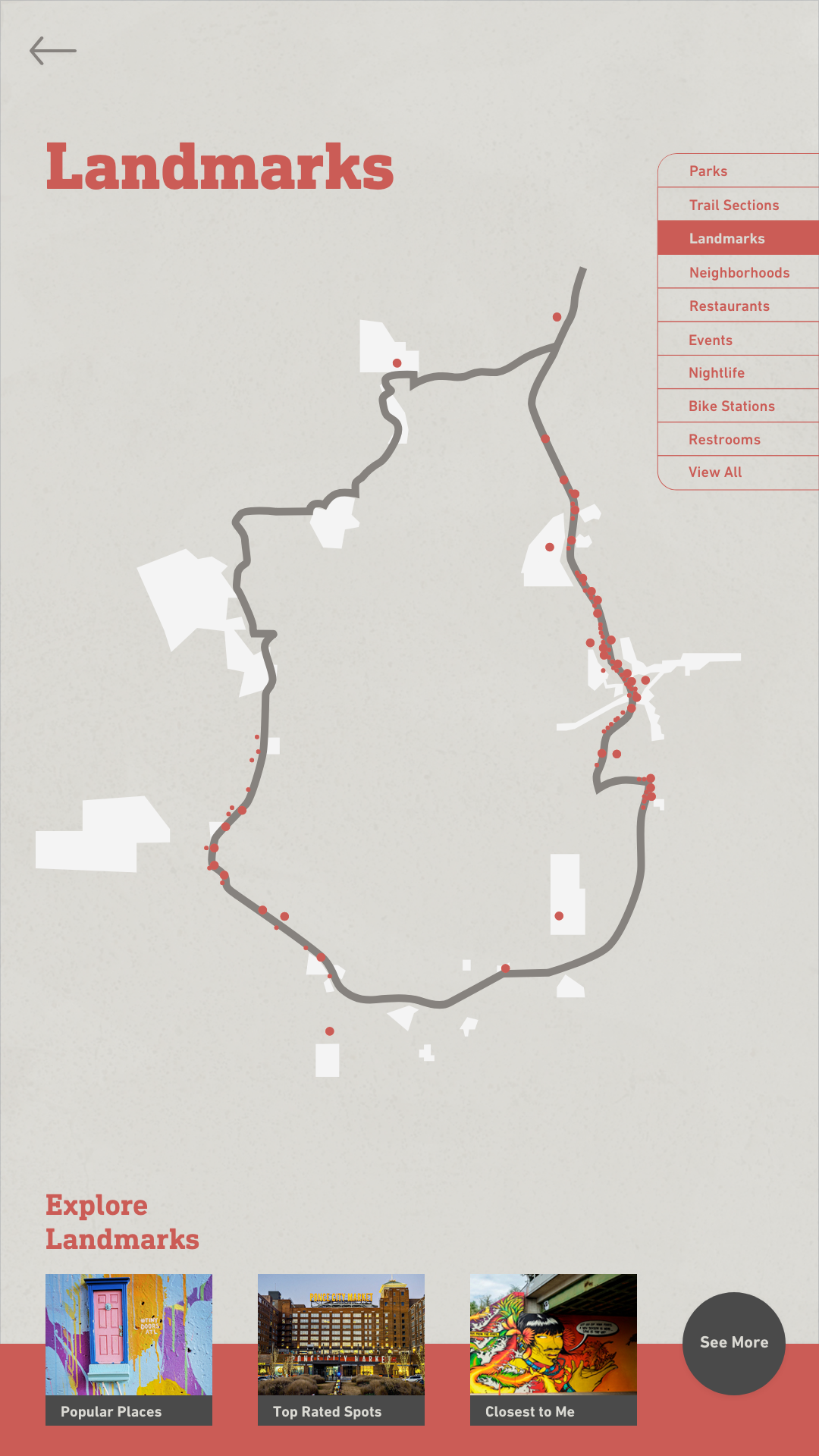
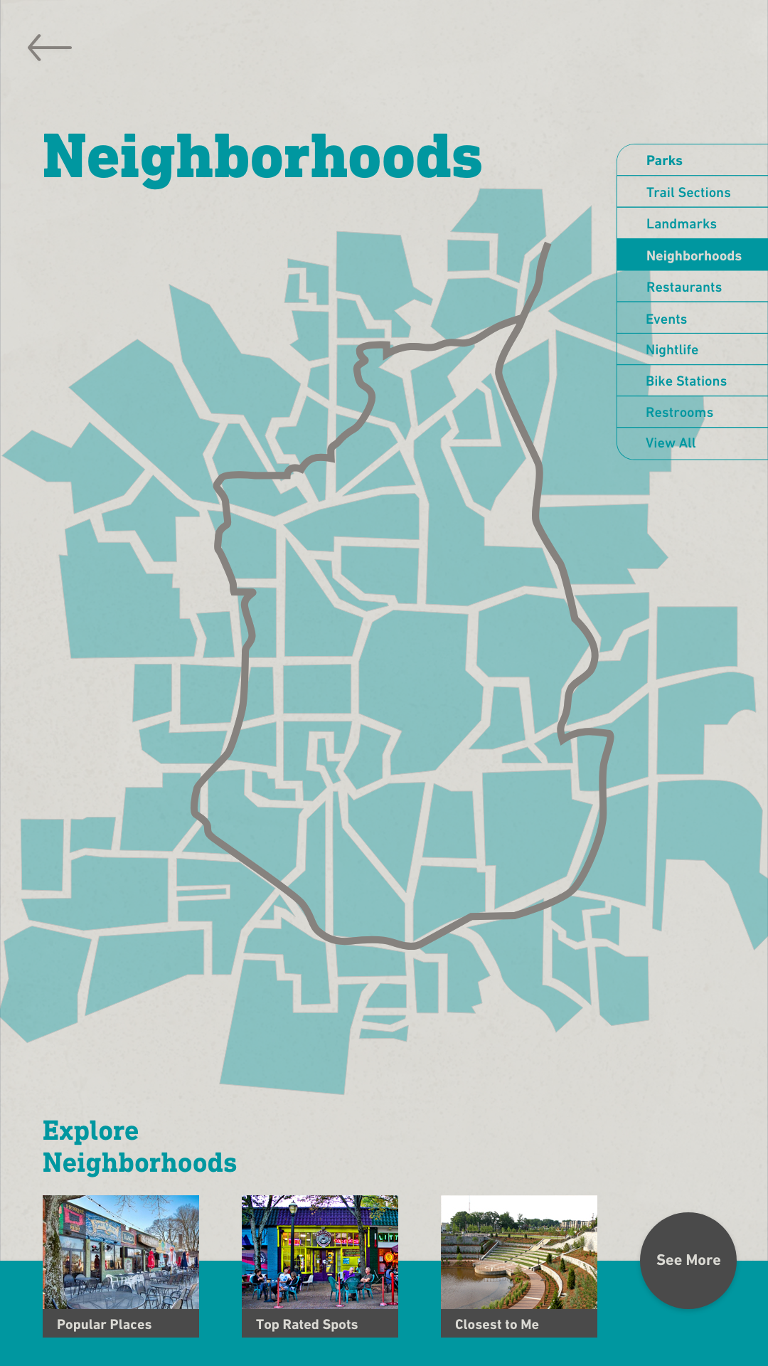
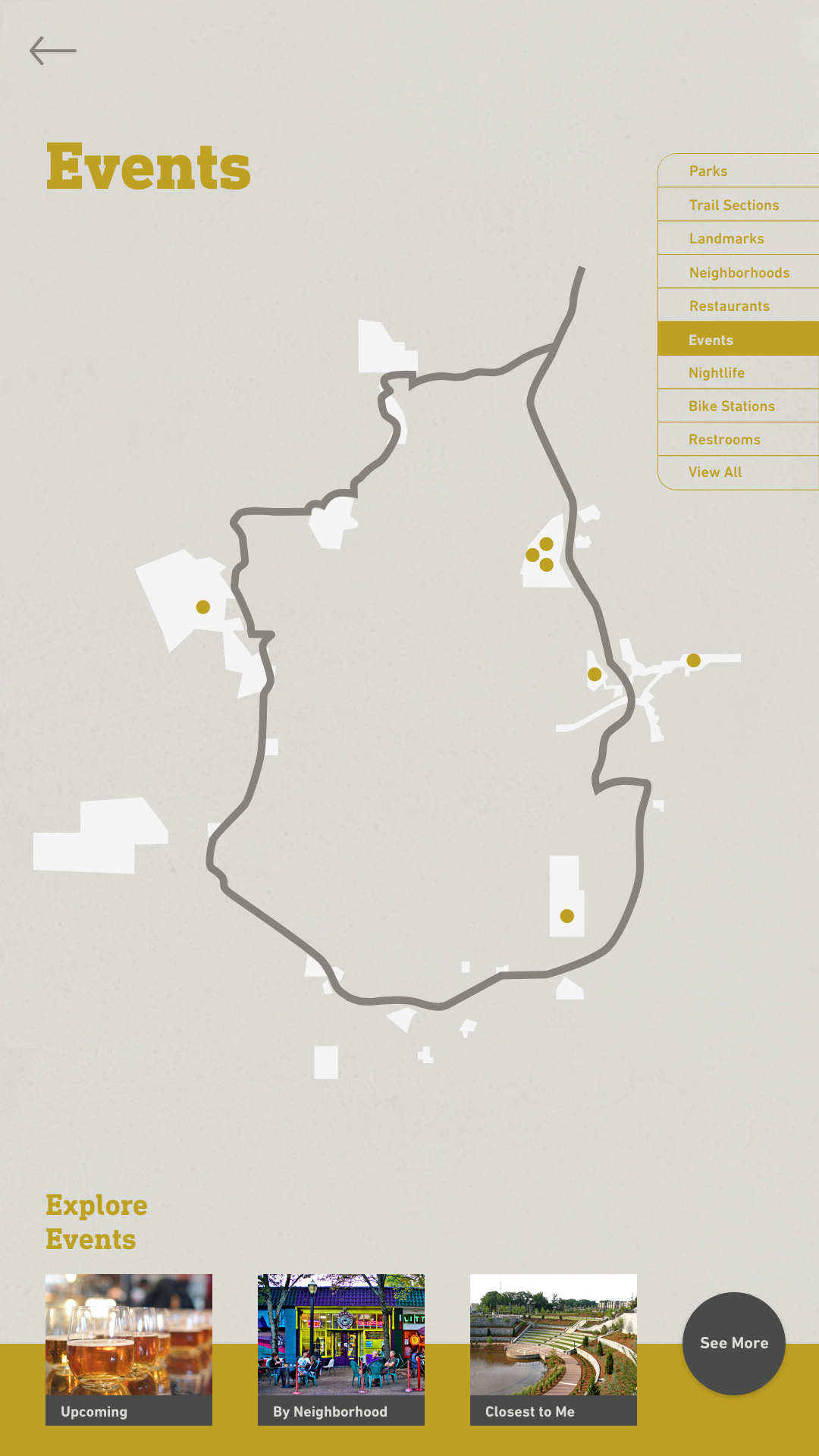
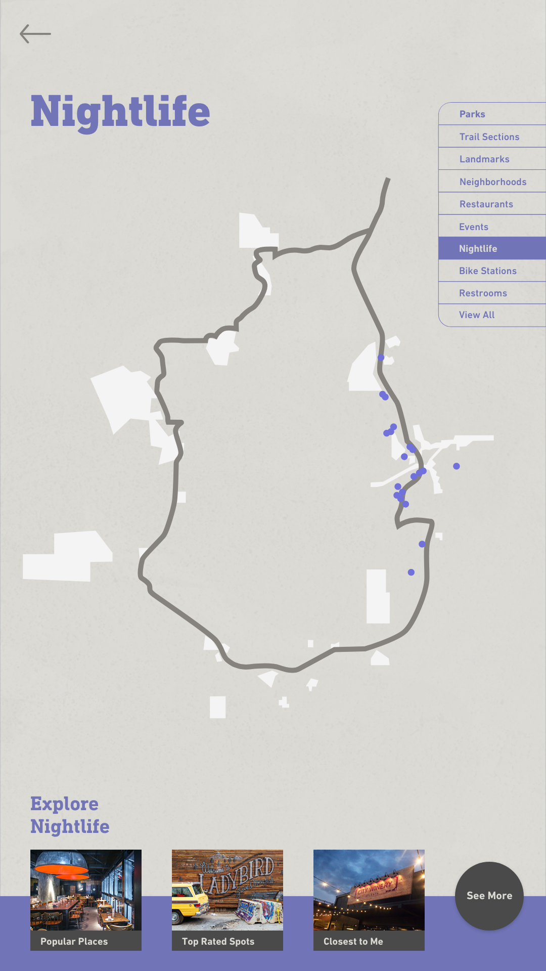
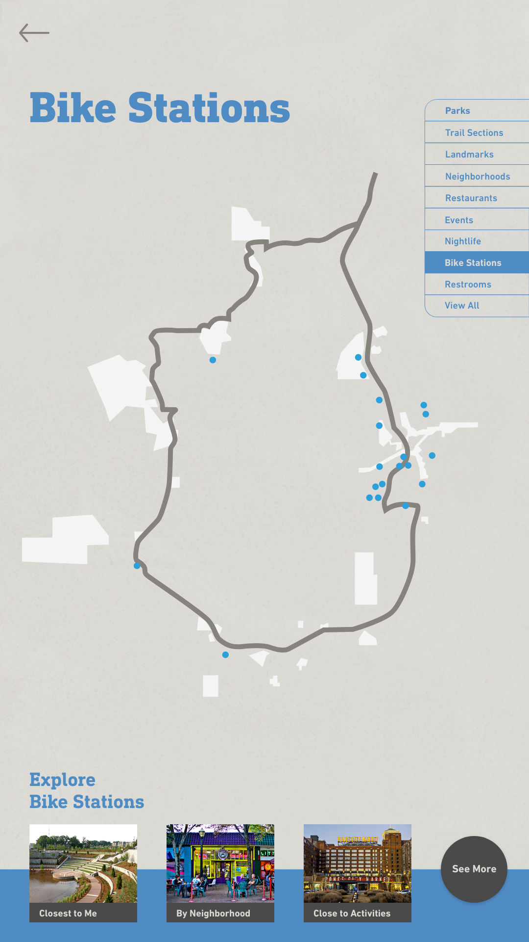
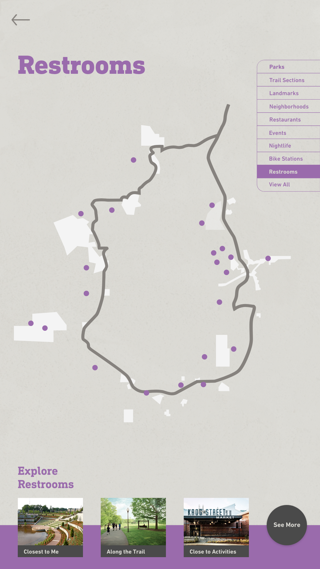
Other Maps
The maps are color-coded so that people can easily where they are and what they are looking at. The color coding continues throughout the kiosk design to let the user know what category they are in.
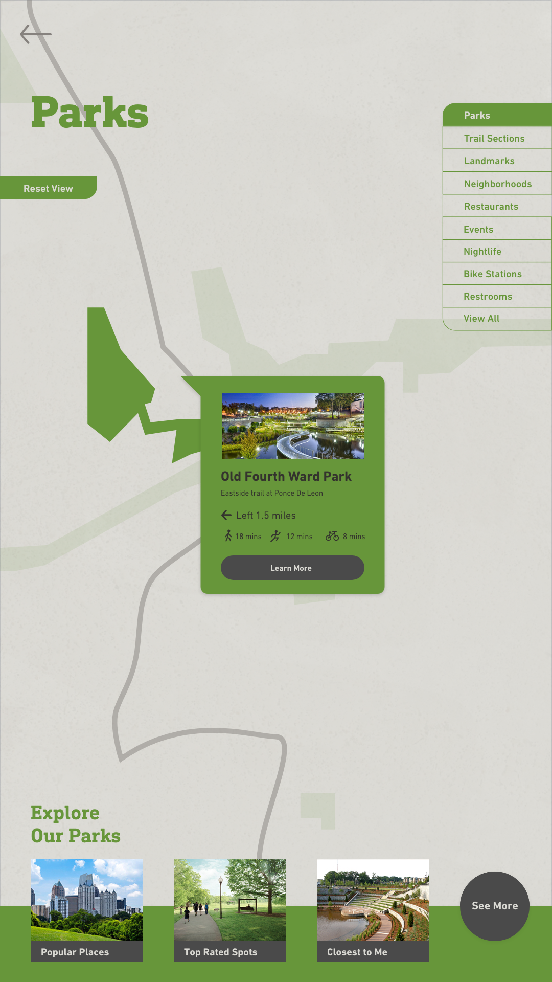
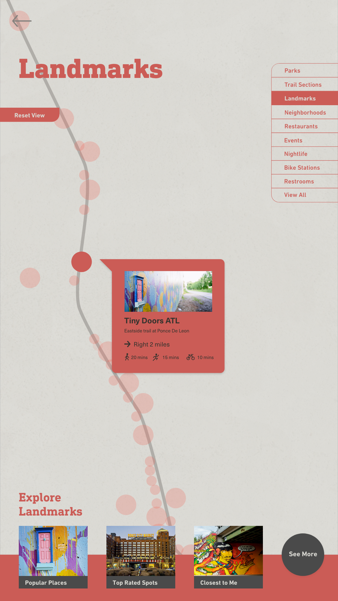
Zoomed In
When an area of the map is clicked on the rest of the map dims to keep focus on the selected point. Some places, like parks offer more information while others, like landmarks, just give the user directions.
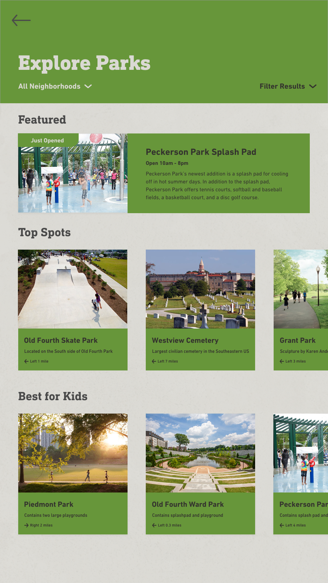

Explore Pages
The "See More" button at the bottom of the maps takes you to the explore page for each category. The explore page features relevant information for the category and allows the user to further narrow down results by neighborhood or filters.
In-Depth Pages
Some categories, such as parks, include in-depth information pages which highlight information the user would be interested in such as pictures, special features, or events.